Half Moon Bay
The City of Half Moon Bay is a small city on the west coast of San Mateo County. It is connected to Pacifica and San Francisco to the north, to Santa Cruz to the south by Highway 1, and to the Peninsula and the East Bay to the east by Highway 92. The city is a popular recreational destination due to its beaches, parks, and its scenic setting on the Pacific Ocean with a backdrop of open bluffs and forested hills. The developed portion of the city is located on relatively flat land between coastal bluff tops to the west and foothills of the Santa Cruz Mountains to the east. Half Moon Bay’s weather is typical of the Northern California coast, with mild summers and cool, wet winters. The City of Half Moon Bay is already experiencing the effects of climate change, including extreme heat and wind events during the summer and fall and flooding in the winter months. Other concerns are extended periods of drought and coastal erosion.
Local Safety and Resilience Highlights
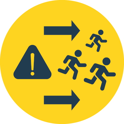
Evacuation and Access
Highway 1 and State Route 92 provide the only entrances and exits to Half Moon Bay. A simple accident, fallen tree, or other disruption on these roads can cause hours of completely stopped traffic. These roadways also become congested on weekends and especially during c major tourist events such as the annual Half Moon Bay Art and Pumpkin Festival in October and the Mavericks surf competition.
Fiber and cellular service is not reliable on the coast, which means that Half Moon Bay residents may have trouble contacting support and response services during an emergency.

Earthquakes
There are no active faults within the Half Moon Bay city limits; however, the San Andreas Fault is located approximately five miles to the east of the city boundary. This is the predominant fault system in California and has generated some of the largest and most destructive earthquakes in the state’s history. Ground shaking could bring widespread and serious damage to Half Moon Bay. The city is generally moderately susceptible to liquefaction, which could be triggered by an earthquake. Areas along the eastern border of the city are vulnerable to landslide, as well as scattered locations in the southern portion of the city.
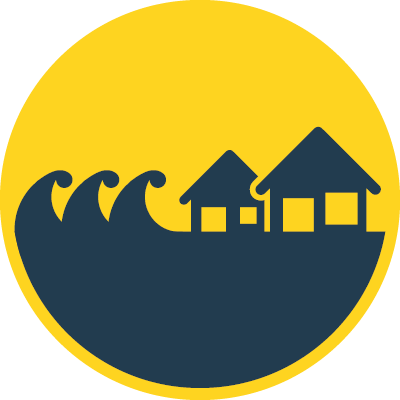
Tsunami
A tsunami can occur after an earthquake or significant landslide falling into the ocean. They can cause coastal flooding, potentially severe property damage, and the risk of injury or death. Earthquakes off the shore of the Pacific Northwest are likely the most hazardous to Half Moon Bay because of the potential for very large wave generation, and a relatively short travel time (on the order of one to three hours). However, smaller events along local faults could result in a wave that reaches Half Moon Bay with essentially no warning time.
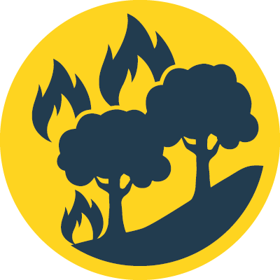
Wildfire
High wildfire hazard areas are primarily in the undeveloped hillside areas of the city. Local and regional wildfires may also trigger poor air quality from smoke.
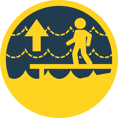
Sea Level Rise
Sea level rise is anticipated to increase the city’s exposure to coastal flooding, the rate of erosion along the shoreline and bluffs, and other coastal hazards. Loss of shoreline due to rising waters may threaten the stability of coastal habitats, recreation areas, and public access. Sea level rise will cause the estuaries and mouths of watercourses along the coast to retreat inland.

Groundwater Management
In Half Moon Bay, groundwater management considerations include protecting groundwater quality and supply. Seawater intrusion and other contaminants could present a risk to groundwater quality, which may be exacerbated by sea level rise. Recharging the aquifer is challenging due to poor percolation of the city’s soils and intensified storm events which result in rapid sheet flow and limited infiltration.
Local Links
- City of Half Moon Bay Safety Element Update
- City of Half Moon Bay General Plan
- San Mateo County MJLHMP - Half Moon Bay
- Local Coastal Program and Land Use Plan
- Green Infrastructure Plan
- Climate Action Plan
- Sustainability Implementation Plan
- Building a More Equitable, Vibrant and Resilient Coastside Economy
- Half Moon Bay Sea Level Rise Vulnerability Assessment
- City of Half Moon Bay, Miramontes Point Sea Level Rise Vulnerability Assessment